
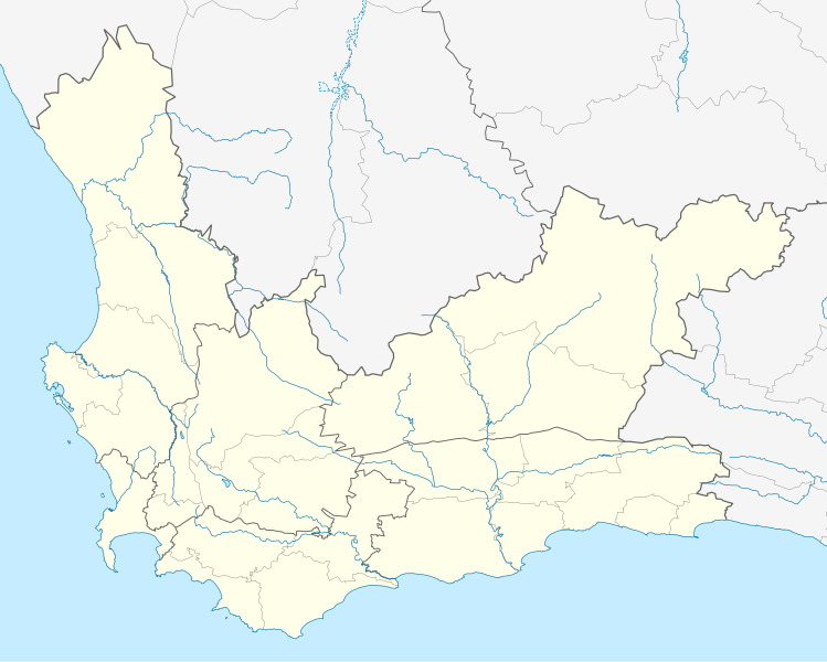
Fichier:South Africa Western Cape location map.svg

Taille de cet aperçu PNG pour ce fichier SVG : 749 × 600 pixels. Autres résolutions : 300 × 240 pixels | 600 × 480 pixels | 959 × 768 pixels | 1 279 × 1 024 pixels | 2 558 × 2 048 pixels | 1 214 × 972 pixels.
Fichier d’origine (Fichier SVG, nominalement de 1 214 × 972 pixels, taille : 204 kio)
Ce fichier et sa description proviennent de Wikimedia Commons.
Description
| Description |
English: Location map of the Western Cape
Equirectangular projection, N/S stretching 118%. Geographic limits of the map:
|
| Date | |
| Source |
|
| Auteur | Htonl |
| Autorisation (Réutilisation de ce fichier) |
Moi, en tant que détenteur des droits d’auteur sur cette œuvre, je la publie sous la licence suivante : Ce fichier est disponible selon les termes de la licence Creative Commons Attribution – Partage dans les Mêmes Conditions 3.0 (non transposée).
|
| Autres versions | File:South Africa Western Cape relief location map.svg, File:Blank map of the Western Cape (2011).svg |
.svg)
Historique du fichier
Cliquer sur une date et heure pour voir le fichier tel qu'il était à ce moment-là.
| Date et heure | Vignette | Dimensions | Utilisateur | Commentaire | |
|---|---|---|---|---|---|
| actuel | 4 janvier 2013 à 21:40 | | 1 214 × 972 (204 kio) | Htonl | tweak |
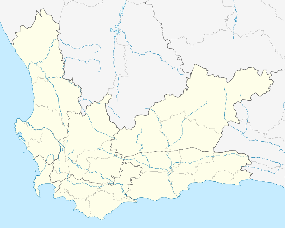
| 4 janvier 2013 à 00:42 |  | 1 214 × 972 (237 kio) | Htonl | new version w/ vmap0-derived rivers | |
| 13 décembre 2012 à 02:24 |  | 1 214 × 972 (202 kio) | Htonl | {{Information |Description ={{en|1=Location map of w:Western Cape, w:South Africa. Equirectangular projection. Geographic limits of the map: 17.5° to 24.5° E and 30.25° to 35° S.}} |Source =Own work, based on OpenStreetMap dat... |
Utilisation du fichier
Les 68 pages suivantes utilisent ce fichier :
- Albertinia
- Bergvliet
- Bishopscourt
- Bo-Kaap
- Calitzdorp
- Cathédrale Sainte-Marie du Cap
- Ceres (Afrique du Sud)
- City Bowl
- Claremont (Le Cap)
- Constantia (Le Cap)
- Danie Craven Stadium
- De Waterkant
- District de Cape Winelands
- District de Central Karoo
- District de West Coast
- District de l'Overberg
- District municipal de la route des jardins
- Foreshore
- Fort de Bonne-Espérance
- Fresnaye
- Gardens (Le Cap)
- George (Afrique du Sud)
- Gouritsmond
- Green Point (Afrique du Sud)
- Groot-Jongensfontein
- Gugulethu
- Haarlem (Afrique du Sud)
- Heathfield
- Heidelberg (Cap-Occidental)
- Helderberg College
- Herolds Bay
- Higgovale
- Kalk Bay
- Kenilworth (Le Cap)
- Ladismith
- Le Cap
- Maitland (Le Cap)
- Melkhoutfontein
- Mouille Point
- Mowbray (Le Cap)
- Métropole du Cap
- Newlands (Afrique du Sud)
- Observatory
- Phare de Roman Rock
- Pinelands
- Plumstead (Afrique du Sud)
- Prison de Pollsmoor
- Retreat (Le Cap)
- Riversdale (Afrique du Sud)
- Rondebosch
- Rosebank (Le Cap)
- Salt River (Le Cap)
- Schotsche Kloof
- Slangrivier
- Statue de J.C. Smuts (Le Cap)
- Steenberg
- Stilbaai
- Tamboerskloof
- Tokai (Le Cap)
- Uniondale (Afrique du Sud)
- University Estate
- Vredehoek
- Wilderness (Afrique du Sud)
- Witsand
- Woodstock (Le Cap)
- Yzerfontein
- Zonnebloem
- Modèle:Géolocalisation/Cap-Occidental
Usage global du fichier
Les autres wikis suivants utilisent ce fichier :
- Utilisation sur af.wikipedia.org
- Kaapstad
- Heidelberg, Wes-Kaap
- Sedgefield
- Knysna
- Stellenbosch
- Robbeneiland
- Beaufort-Wes
- Genadendal
- George
- Paarl
- Swellendam
- Tulbagh
- Touwsrivier
- Mamre
- Franschhoek
- Plettenbergbaai
- Gordonsbaai
- Wellington, Wes-Kaap
- Bellville
- Durbanville
- Mosselbaai
- Atlantis, Wes-Kaap
- Malmesbury, Wes-Kaap
- Paternoster
- Hopefield
- Vredenburg
- Saldanha
- Langebaan
- Velddrif
- Jacobsbaai
- Laingsburg
- Kleinmond
- Matjiesfontein
- Simonstad
- Grabouw
- Moorreesburg
- Robertson
- Houtbaai
- Oudtshoorn
- Bredasdorp
- Distrik Ses
- Elim, Wes-Kaap
- Wupperthal
- Darling, Wes-Kaap
- Suurbraak
- Barrydale
- Napier
- Dysselsdorp
- Zoar, Wes-Kaap
- Piketberg
Voir davantage sur l’utilisation globale de ce fichier.